About Me
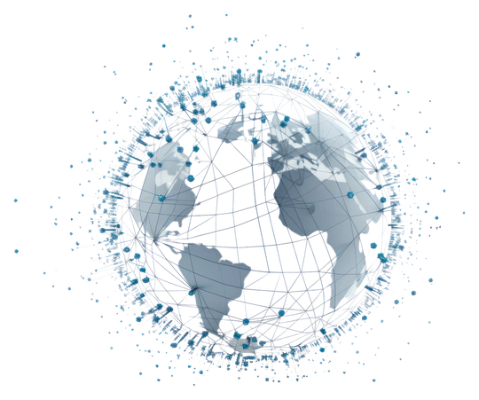
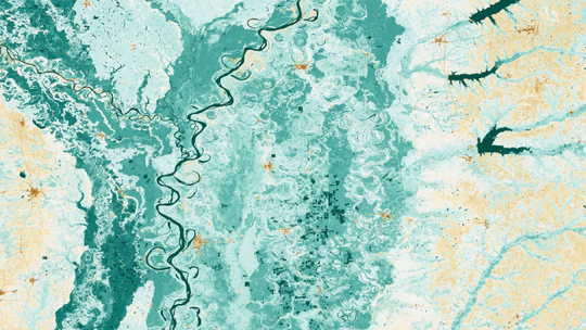
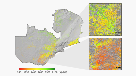
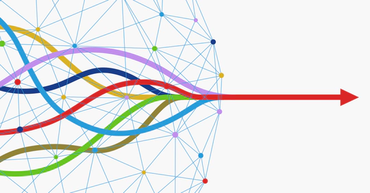
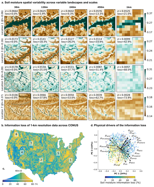
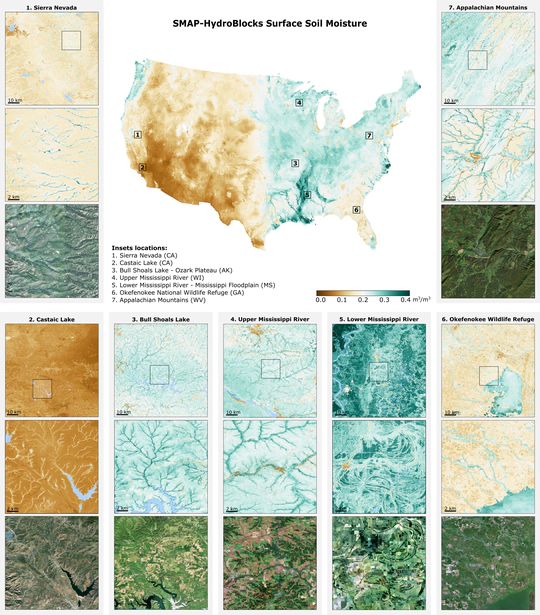
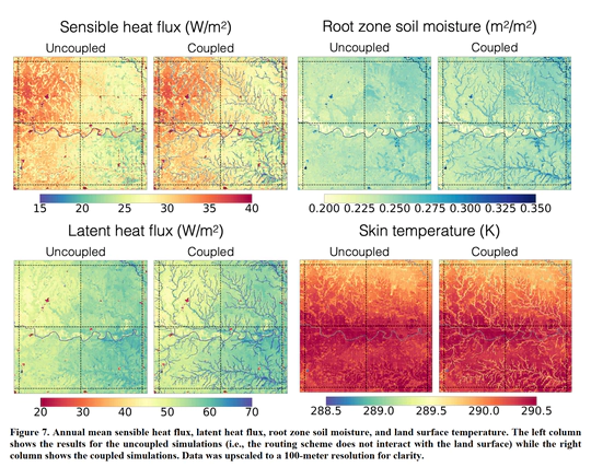
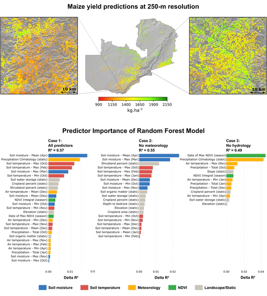
I am a computational hydrologist, engineer, and scientist working on solutions for water resources and climate. My research aims to aid actionable decision-making by improving hydrological information for monitoring and forecasting hydrological extremes and their impacts at the local scales. To this end, I develop scalable computational approaches for high-resolution hydrological prediction by leveraging advances in satellite remote sensing, land surface modeling, machine learning, data fusion, and high-performance computing.
Currently, I am assistant professor at the Earth, Environment, and Planetary Sciences Department at Rice University. Previously, I developed satellite land data assimilation for Earth System Models as a visiting research scientist at the NOAA Geophysical Fluid Dynamics Laboratory and postdoctoral researcher at the Atmospheric and Ocean Science Program at Princeton University. Prior, I worked on water resources and environmental engineering consulting. I hold a M.A. and Ph.D. in Civil and Environmental Engineering from Princeton University.
For my contribution to science, I was awarded the 2022 AGU Science for Solutions Award for “outstanding contributions to water and food security through advances in hyper-resolution land surface modeling and satellite remote sensing” and the 2022 Paul F. Boulos Excellence in Computational Hydrology Award by the American Academy of Environmental Engineers and Scientists.
Learn more about my interests in research and publications, and by following my updates on Twitter. Prospective PhD students and postdocs keen on contributing to the fields of computational hydrology and remote sensing are encouraged to revise the requirements and reach out for position availability.
- Hydrology
- Agriculture
- Floods and Droughts
- Satellite Remote Sensing
- Artificial Intelligence
- High Performance Computing
- Big Geospatial Data
PhD in Civil & Environmental Engineering
Princeton University, 2021
Statistics & Machine Learning Certificate
Princeton University, 2021
Computational Science & Engineering Certificate
Princeton University, 2019
MA in Civil & Environmental Engineering
Princeton University, 2017
BS Environmental Engineering
Federal University of Paraná (Brazil), 2014
Research & Portfolio
Featured Publications
Recent Publications
More on Publications and Google Scholar
News & Social